Cleveland sits on a complex glacial and lacustrine sequence. Soft clay layers interbed with dense till and Devonian shale. Getting site class right here is not a formality. The depth to bedrock shifts from 10 feet in the Flats to over 100 feet out in the eastern suburbs. A MASW survey maps Vs profiles without drilling into erratic fill. For sites near the Lake Erie shoreline, the NEHRP site amplification factors become critical. We run 24-channel and 48-channel arrays to resolve both shallow stiff layers and deep impedance contrasts. This data feeds directly into the ASCE 7 site classification table. When the borehole refusal happens above 100 feet on shale, we pair surface wave data with a seismic refraction line to confirm the velocity inversion.
A MASW survey costs a fraction of a downhole seismic test and covers the full 30 meters without a borehole—critical when Cleveland’s shale stops the auger at 15 feet.
Scope of work in Cleveland
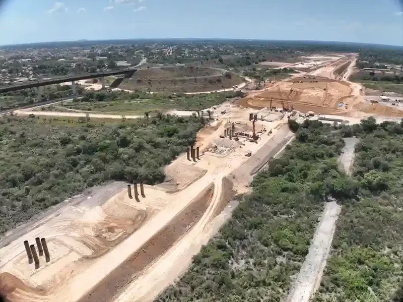
Typical technical challenges in Cleveland
In the Cuyahoga Valley, we see fill thicknesses that vary 20 feet across a single lot. A single borehole misses that. MASW captures lateral variation through the entire array length. More common: a stiff clay crust over soft lacustrine clay creates a velocity inversion. Standard refraction misses it. Surface wave inversion resolves it if we run a full multimodal analysis. Missing that soft layer undercounts site amplification. The result is a Site Class D assigned where Site Class E is correct. That error flows straight into the seismic base shear calculation. We have seen foundation designs 15% under capacity because of this. Cleveland's lakebed stratigraphy demands the surface wave approach. No short cuts.
Our services
Every MASW survey in Cleveland includes Vs30 calculation, site class determination, and a signed engineering report. We also offer complementary testing when the subsurface conditions require it.
MASW / Vs30 Survey
Full 30-meter shear wave velocity profile using active-source surface wave method. Includes dispersion curve, inversion model, and ASCE 7 site class letter.
Combined MASW + Seismic Refraction
Paired survey package for sites with suspected velocity inversions or shallow bedrock. Refraction maps P-wave velocity while MASW resolves the Vs column.
Downhole Seismic (Cross-check)
Borehole-based Vs measurement when a drill rig is already on site. Used to calibrate MASW profiles in complex Cleveland stratigraphy.
Site-Specific Response Spectra
Ground motion analysis using the measured Vs profile and regional seismicity. Produces design spectra per ASCE 7 Chapter 21 for nonlinear time-history input.
Quick answers
How much does a MASW survey cost for a typical Cleveland commercial lot?
For a standard commercial lot in the Cleveland area, a complete MASW survey with Vs30 calculation and signed report runs between US$1,770 and US$3,370. The range depends on array length, number of shots, and whether we need a second spread to cover the full site. Steep sites along the Cuyahoga River valley may require additional setup time.
Does the City of Cleveland accept MASW for site classification without boreholes?
Yes. The Cleveland building department accepts MASW-derived Vs30 values for IBC site classification when the report follows ASTM D4428 and includes raw data. For sites with known fill or organic layers, they may request one calibration borehole. We coordinate that with a local driller.
How long does the field work take and what access do you need?
A single array setup takes about two hours on flat ground. We need a clear line roughly 75 to 150 feet long depending on the array. Grass, asphalt, or gravel is fine. We cannot shoot through concrete slabs or dense brush. The crew is two people. No drilling, no excavation, no traffic disruption.